3D Maps
3D trail flyover for social sharing
 Xavier Morros
 Jose Notario
 Jose Molina
Product designProduct vision & directionDiscovery phase
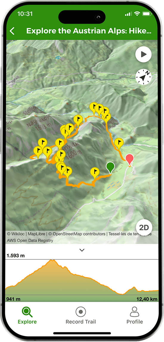
Flattening a fundamentally 3D experience
A trail on Wikiloc is fundamentally 3D, with climbs, descents and terrain, but every way of viewing or sharing it flattened that into a 2D line on a map, which undersold the actual experience, especially when trying to get others excited about it.
A cinematic flyover, not a line on a map
I designed a 3D flyover feature that renders a trail as a cinematic aerial video over satellite terrain, ready to export and share on Instagram, TikTok or YouTube Shorts. It gave users outdoor content genuinely worth sharing, and gave Wikiloc a distinctive, recognisable format on social platforms.